Photography Channel
boosted

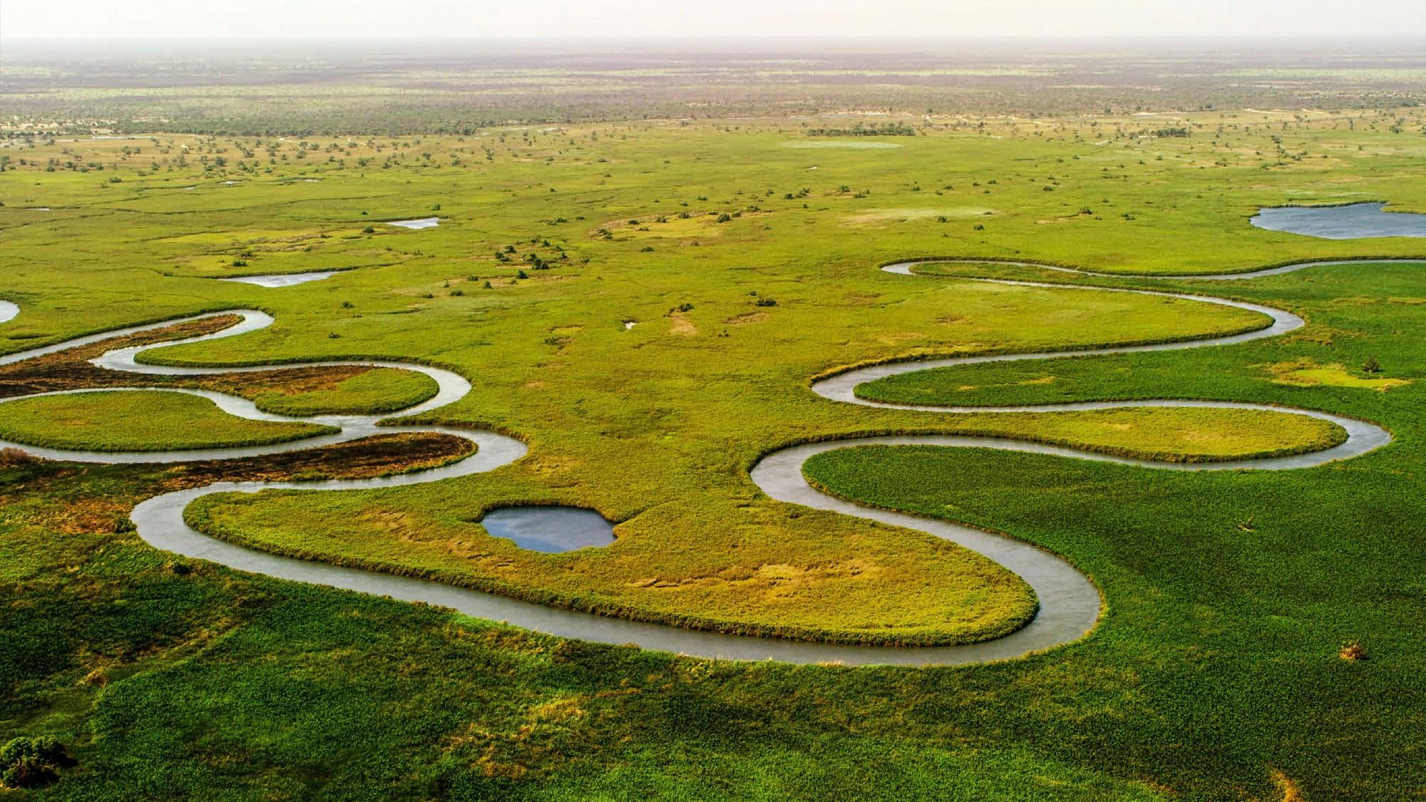
The Okavango Delta is one of the world’s most interesting natural wonders: an "inland delta" where a massive river doesn't flow into the sea, but into the Kalahari Desert. The floodwaters arrive during Botswana's dry season (May–August). As the rest of the country parches, the Delta swells into a 15,000 km2 oasis. #nature #ecology #africa #photo #geography #environment